
American Cities: Before and After
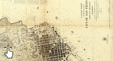
What Did San Francisco Look Like in the Mid-1800s?
A look at a sailing chart of San Francisco and its bay, made in 1859 by the fledgling US Coast Survey
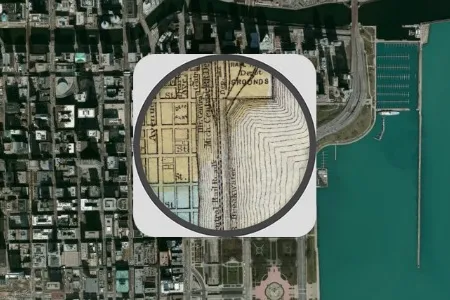
What Did Chicago Look Like Before the Great Fire?
This 1868 pocket map of Chicago shows the city in full-blown expansion, a mere 3 years before the infamous blaze
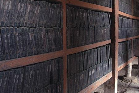
Preserving the World’s Most Important Artifacts
The Memory of World Register lists over 800 historic manuscripts, maps, films and more to help raise funds for preservation

Ferdinand Magellan’s global journey gave him fame, but took his life
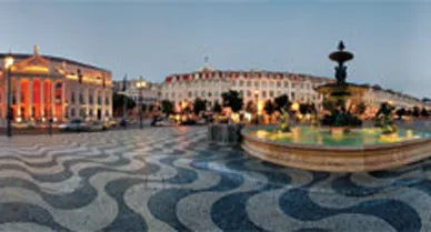
A 360-degree perspective on some of Europe’s most alluring public spaces

For These Precious Scrolls, Aged Glue and ‘Damage Maps’
Not to mention patience, as 40 of them go from the Freer Gallery to six workshops in Japan to undergo a complete overhaul
Page 11 of 11