Check Out Breathtaking Images From NOAA’s Newest Satellite
In a word: wow
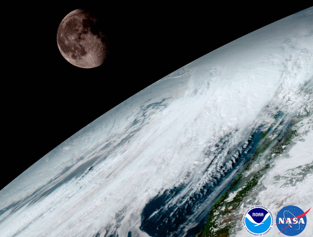
Weather satellites have advanced by leaps and bounds since the United States’ first was launched in 1960. These crafts have transformed what scientists can do in many fields—from communications to weather prediction. But if you think weather satellites are as good as they're going to get, think again. As The New York Times’ Nicholas St. Fleur reports, NOAA just released images from its newest weather satellite. And they’re so gorgeous, they might give you a new appreciation for the planet on which you live.
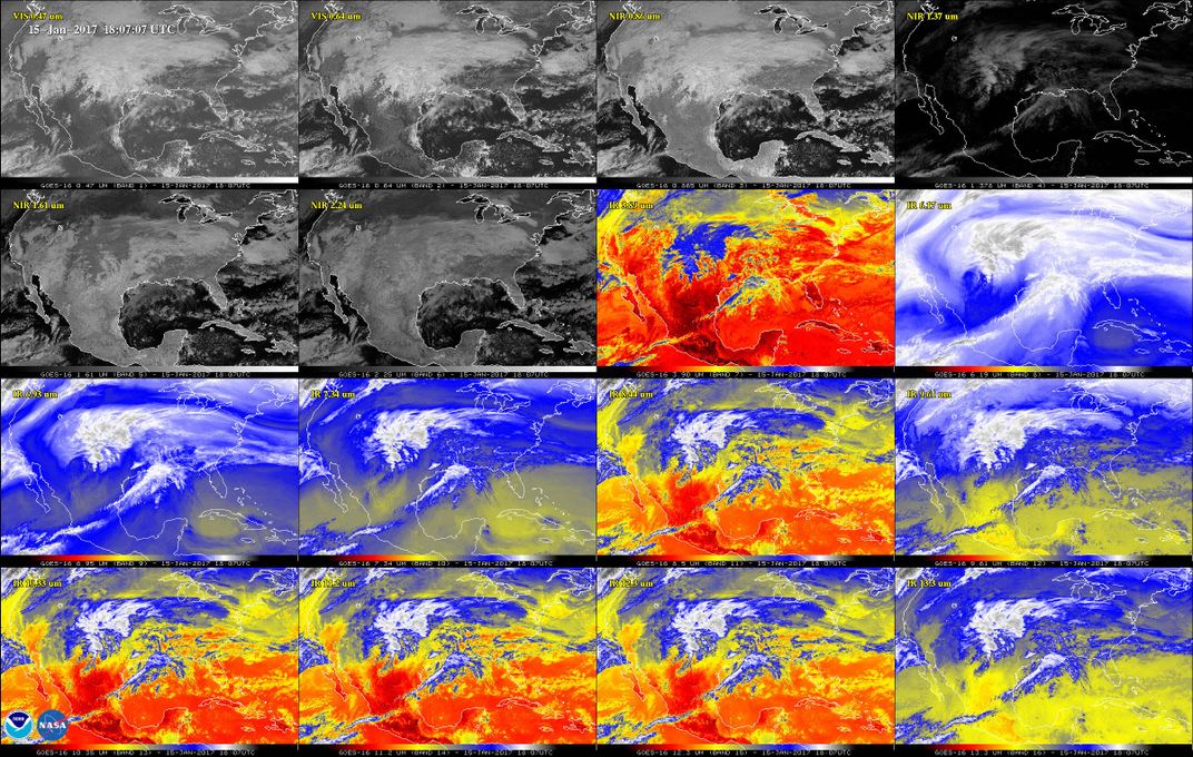
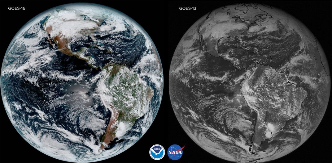
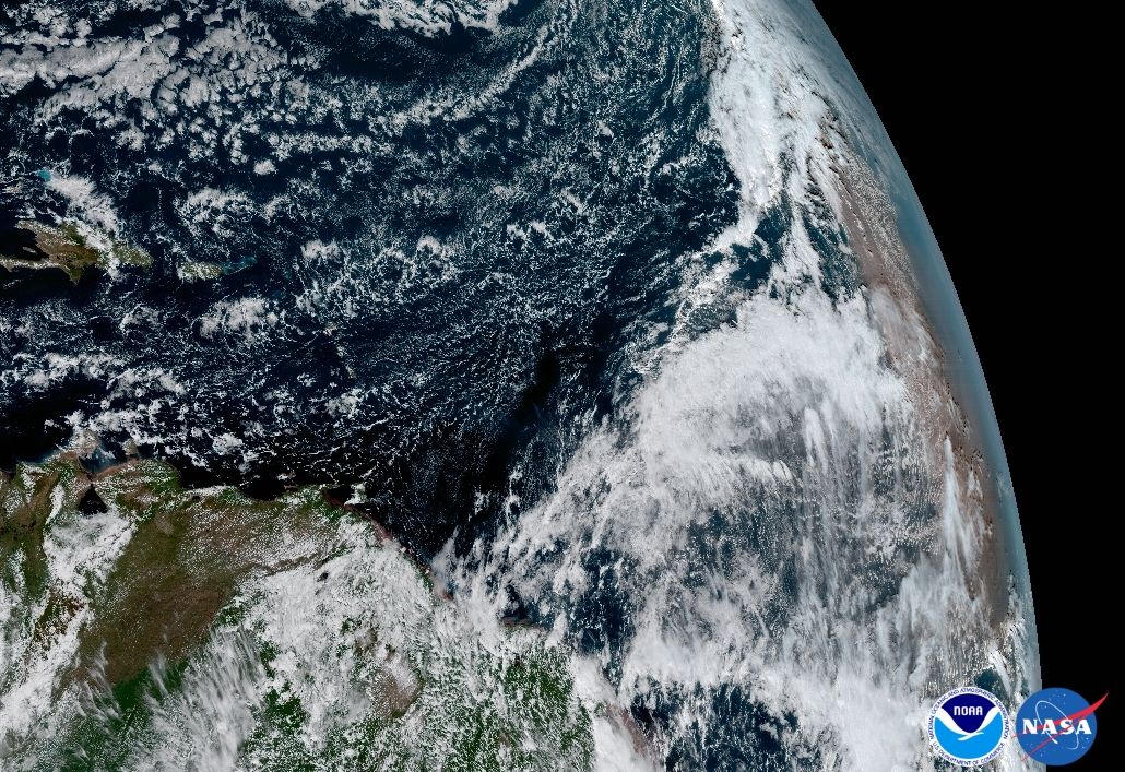
The images are the first ever captured by GOES-16, a new weather satellite deployed by the National Oceanic and Atmospheric Administration. The satellite is currently 23,000 miles above Earth. And, using a barrage of high-tech instruments, is designed to make U.S. weather prediction and observation better.
In a release, NOAA notes that one of its imaging tools can show a full view of an entire hemisphere in high-definition. It outdoes its predecessor by four times the definition, and every five minutes it produces a photo of the United States. Every 15 minutes, it can provide a full image of our planet—and it does it all five times faster than its predecessors.
It’s been almost 60 years since the first weather satellite was deployed, and since then the art and science of weather prediction has changed a lot. Even the blurry images of TIROS-1, the first weather satellite, helped scientists track a typhoon. In the years that followed, meteorologists started to use satellite data to track everything from hurricanes to tornadoes to basic rain storms in real time.
But GOES-16 does more than check out what’s up on Earth. NOAA also uses it to observe and predict weather in space. Earth is more affected by space weather than you might think: Everything from geomagnetic storms to solar proton emissions can disrupt GPS, radio and electric power back on Earth.
GOES-16 may be technically impressive, but the images it’s sending back are also gorgeous. “It’s more spectacular than we even envisioned,” a NOAA senior scientist tells St. Fleur. Perhaps one day, GOES images will take a place in history right up there with the “blue marble” photo and the first image of Earth from the moon.
/https://tf-cmsv2-smithsonianmag-media.s3.amazonaws.com/accounts/headshot/erin.png)


/https://tf-cmsv2-smithsonianmag-media.s3.amazonaws.com/accounts/headshot/erin.png)