Explore Far Out Views From Mars’ Surface With Over 1,000 New Photos
It’s the Martian “magic hour”
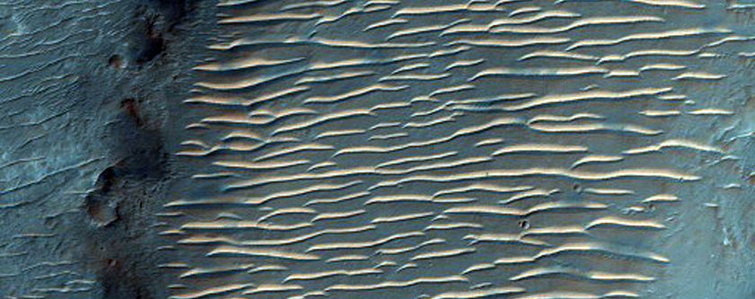
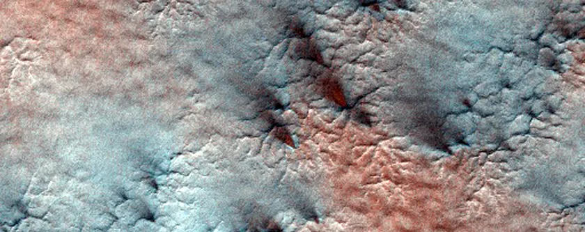
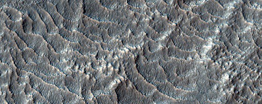
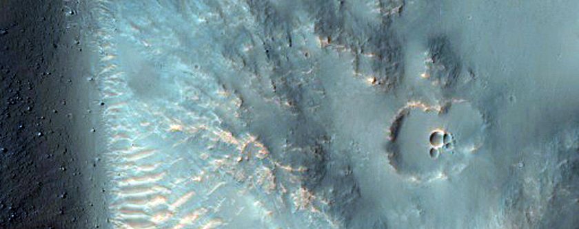

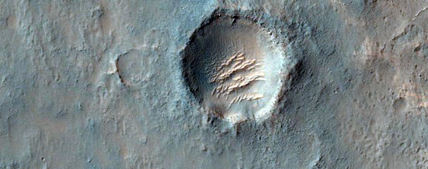
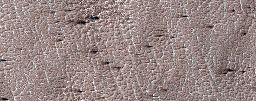

For more than a decade, NASA’s Mars Reconnaissance Orbiter (MRO) has circled the red planet, snapping photos of its surface and beaming them back for Earthbound scientists to examine. The high-resolution images contain all sorts of helpful information in mapping the Martian surface, but what makes the most recent download so exciting is that in this month alone, the MRO sent back more than 1,000 photos.
Thanks to the orbital camera, NASA scientists get regular monthly updates on what’s going down on the Martian ground. However, as Alessandra Potenza reports for The Verge, every 26 months Mars enters what’s known as “opposition” with the Sun. That means that for a few weeks, the Earth sits smack in between our planetary neighbor and our home star, giving scientists a rare direct line of communication to the distant probe, allowing for large data dumps.
This time around, scientists had even more reason to be excited about getting the latest batch of photos. In addition to being able to download a wealth of new images of Mars’ deserts, dunes, canyons and mountains all at once, it just so happens that the most recent opposition occurred at a time when the sun shined directly on Mars’ equator. While one of the red planet’s poles is usually in shadow at any given time, this month, the MRO was able to snap its most complete shots of Mars’ feature thanks to the perfect lighting, Samantha Cole reports for Popular Science.
These photos aren't just stunning, they also relay important information to NASA. The agency uses the images it receives from the MRO to compile updated maps of the planet’s surface to choose where to send surface rovers in the future. With the space agency due to launch the InSight lander on Mars in 2018 and several other rovers to the planet in 2020, having up-to-date maps means knowing where best to point them, director of the Planetary Image Research Laboratory, Alfred McEwen, tells Cole. Meanwhile, the eye in the sky also tracks many of the fascinating environmental processes happening on the planet’s surface, like shifting sand dunes and jets of dry ice at the North and South poles.
You can check out all of the MRO’s most recent photos here.