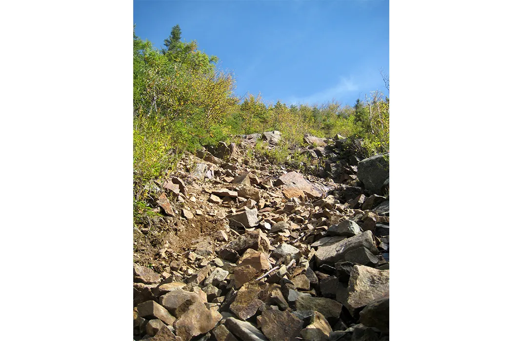
Pemigewasset Wilderness
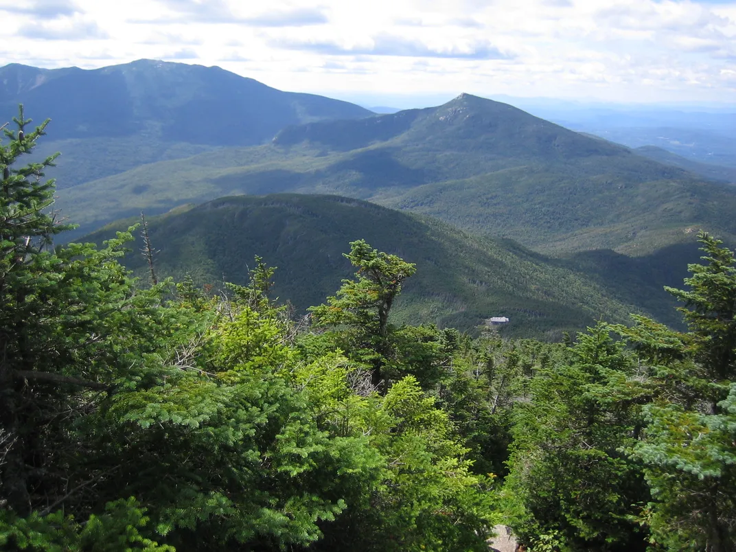
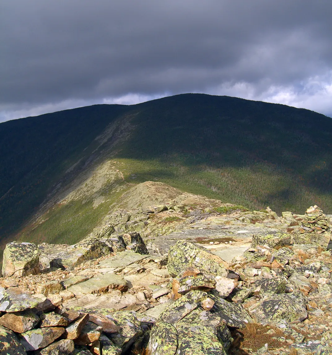
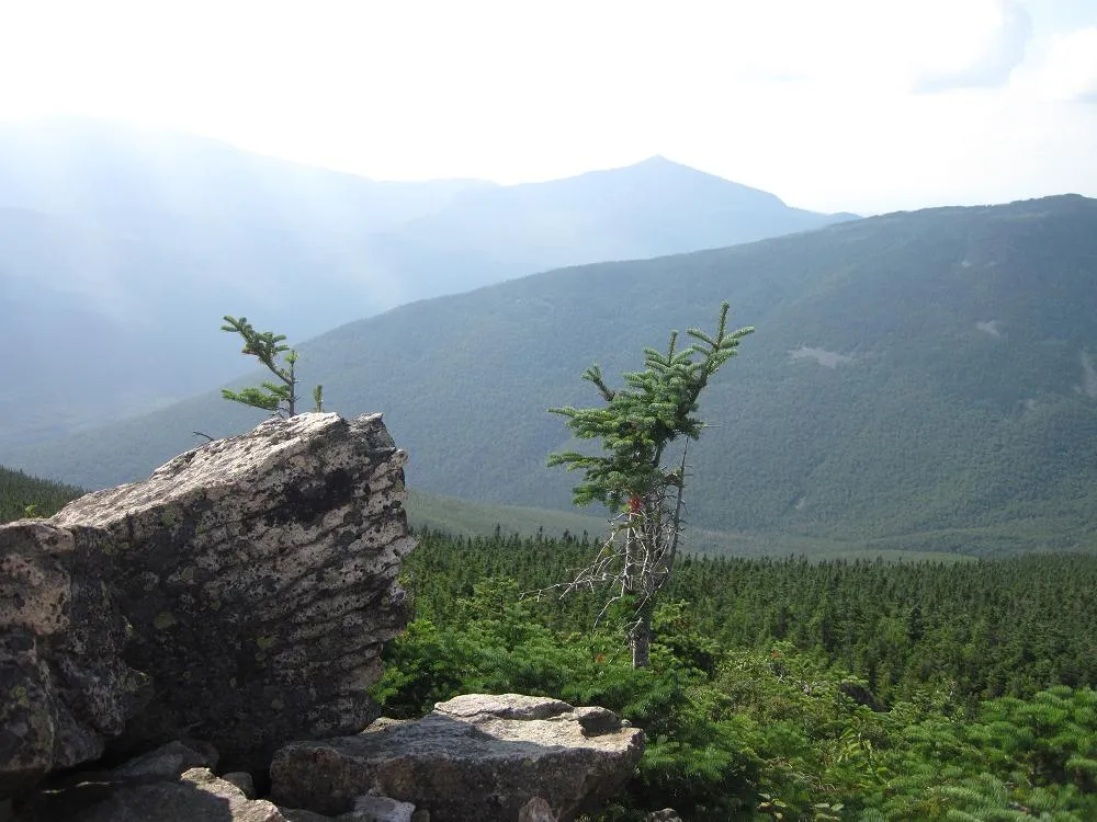
Expansive views, ragged peaks and mixed forest of hardwood and conifer
Location: New Hampshire
Size: 46,018 acres
Year Designated: 1984
Fast Fact: New Hampshire’s largest wilderness area.
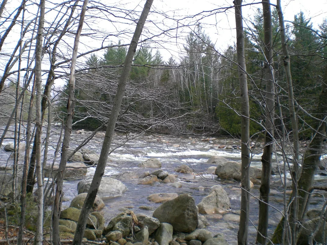
Today, Pemigewasset Wilderness shows barely a trace of human interference. But a little over 50 years ago, New Hampshire’s largest wilderness area was a completely different place, as years of logging had essentially destroyed all of the area’s tree cover. Thanks to preservation efforts, the area has been able to recover into a thriving forest, with moose, deer and black bears roaming its tree-lined slopes. The wilderness area flattens out near the eastern portion in an area called Desolation Region, a nod to the destruction that logging wrought upon the area. Desolation Region, however, is not desolate: Thoreau Falls cascades beautifully for nearly 80 feet and multiple ponds dot the wooded landscape.
