Explore the Ruins of an Ancient Incense Route
Follow frankincense and myrrh on a historic journey through the desert
/https://tf-cmsv2-smithsonianmag-media.s3.amazonaws.com/accounts/headshot/JenniferBillock.png)
/https://tf-cmsv2-smithsonianmag-media.s3.amazonaws.com/filer/0b/bf/0bbf0406-1d85-4d03-8214-da72b9663bcb/mamshit-church_-_creative_commons.jpg)
Frankincense and myrrh may not make the cut on many shopping lists today, but from the 3rd century BCE to the 2nd century AD, they were hot commodities. Procured from tree sap, they were long used as incense and perfume, burned frequently in many places around the world to cover up the not-so-pleasant smells of the time. But there was one problem: frankincense and myrrh were only native to trees growing in Ethiopia, Somalia, and southern Arabia.
Enter the incense route, a path spanning more than 1,200 miles and used by traders to carry frankincense and myrrh from Yemen and Oman, through the Negev desert, to the Mediterranean port in Gaza. The route took about 62 days to traverse, according to the notable Roman author Pliny the Elder, with around 65 stops along the way where traders and their camel caravans could rest, recharge and sell their goods. Generally, a day’s worth of travel would bring the caravans to the next stop.
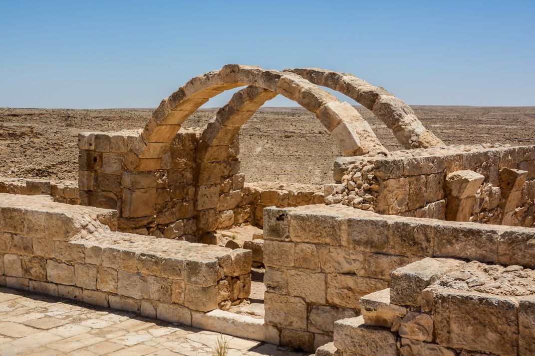
A local population called the Nabateans primarily controlled this route, operating four major cities along the way—Haluza, Mamshit, Avdat and Shivta—as well as multiple fortresses protecting the route from robbers.
At the height of its use, the incense route aided in the transport of an estimated 3,000 tons of incense every year, following an undulating path that changed slightly with each instance that settlements along the way decided to increase taxes on passing caravans. Although some spices were also carried along the incense route, this shouldn’t be confused with the actual spice routes, which were largely maritime paths.
And like those before them, the overland incense route transitioned to a maritime route, as well, beginning around the last century BCE. Traders in southern Arabia would make inflatable rafts out of animal skin, using those to secretly float bundles of incense out to waiting ships on the Arabian Sea. From there, the boats would covertly sail up the Red Sea and deliver the incense to Egyptian ports. In approximately 25 BCE, the south Arabian kingdoms were ultimately overthrown, bringing an end to the overland route (which was mostly controlled by Arabians) altogether, and allowing the maritime trade to flourish.
Follow the scent to these spots in modern-day Israel, where you can see what’s left of the ancient incense route today.
Avdat
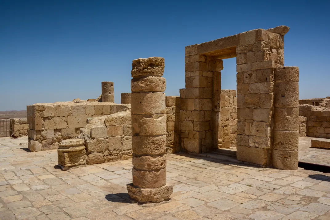
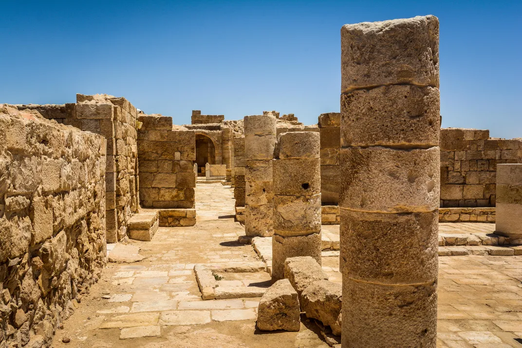
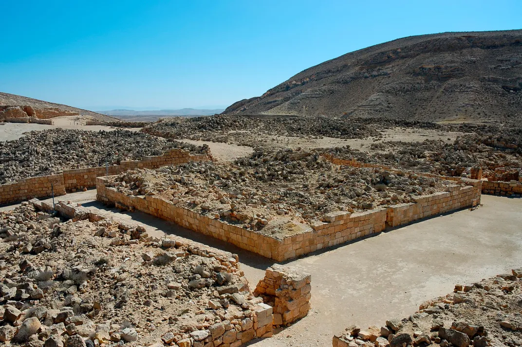
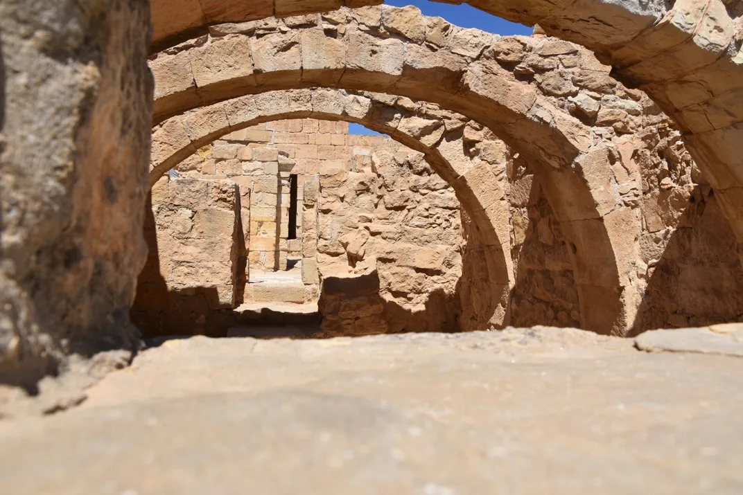
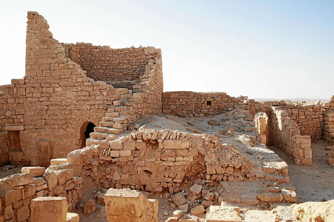
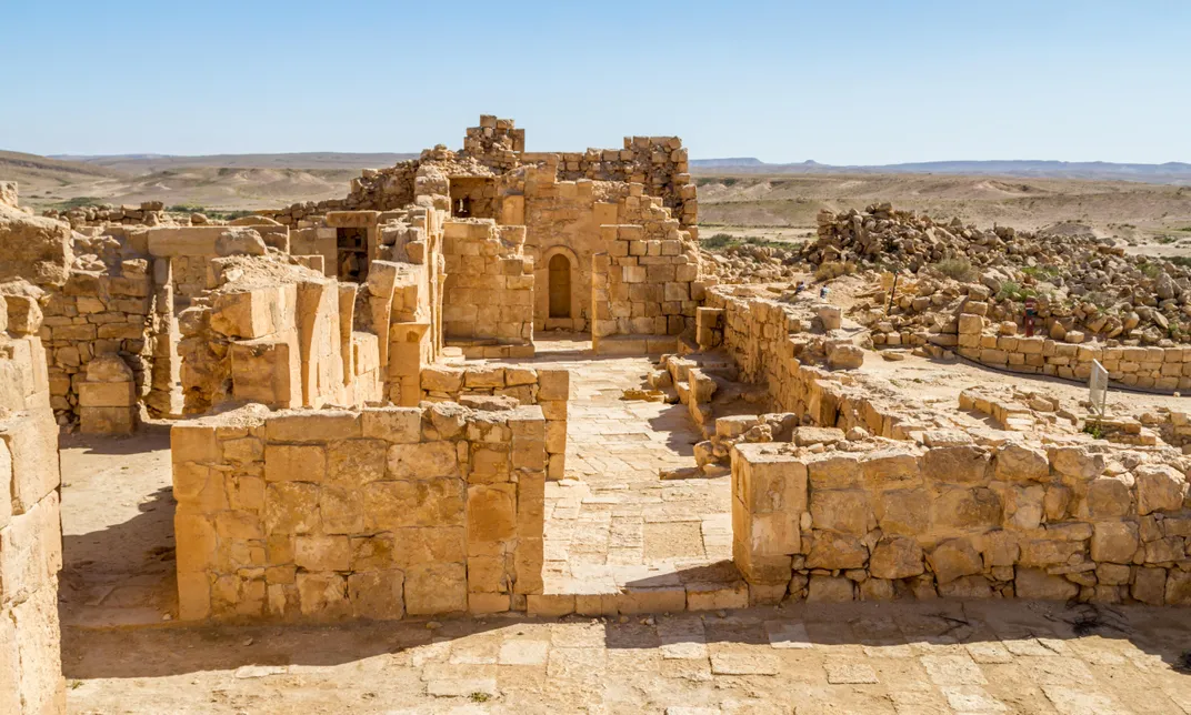
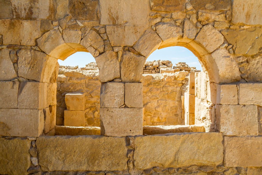
This town, also commonly known by its variations including Abdah, Ovdat and Obodat, was one of the most important cities on the incense route. At first, it was a simple fortified station meant to protect cargo from thieves and provide water, food, and shelter to those along the route; but at some point in the 3rd century BCE, the Nabateans developed it into a city in its own right. A destructive earthquake in the 7th century AD caused residents to abandon Avdat, but relics still remain. Visitors to what is now a UNESCO Heritage site can see ruins of a thriving metropolis—including the fortress, churches, a ceramics workshop, homes, water systems and burial caves.
Haluza
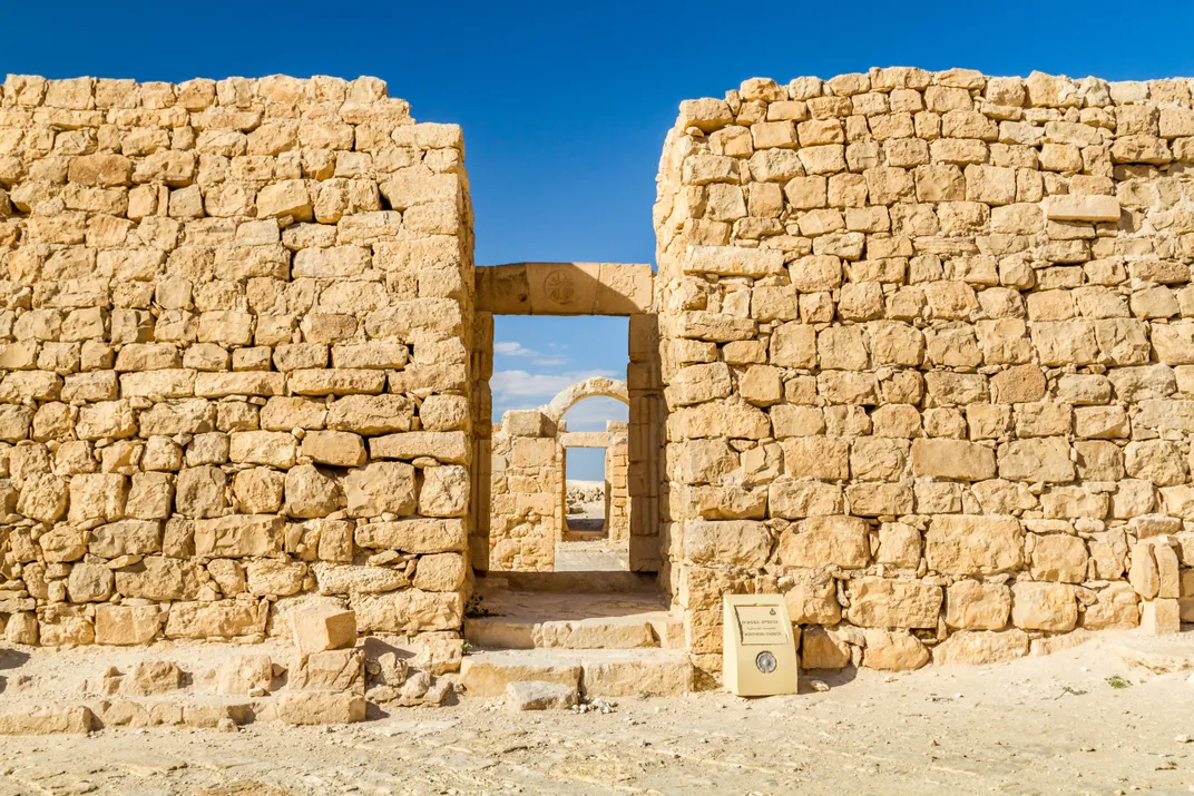
Haluza (sometimes referred to as Halutza, Elousa or Elusa) was the second-to-last stop on the ancient incense route, situated just before the caravans would hit their final stop at the port in Gaza. The town is also the northernmost in the Negev desert, and was known to be the administrative center for this region of the incense route. Later in the city’s history, it became a stop for Christian pilgrims on the way to Jerusalem. The majority of Haluza rests beneath massive sand dunes, and it was never fully excavated—yet the ruins of both a theater and a church remain on this site today.
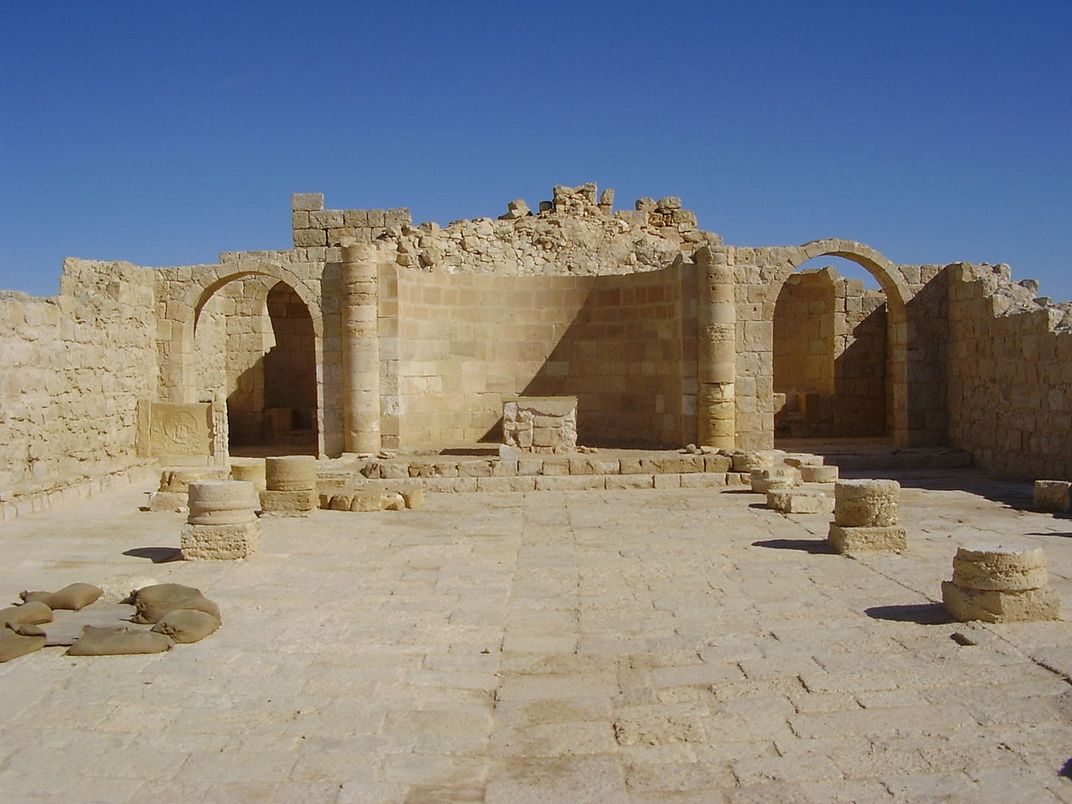
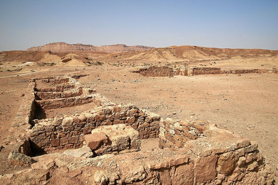
Mamshit
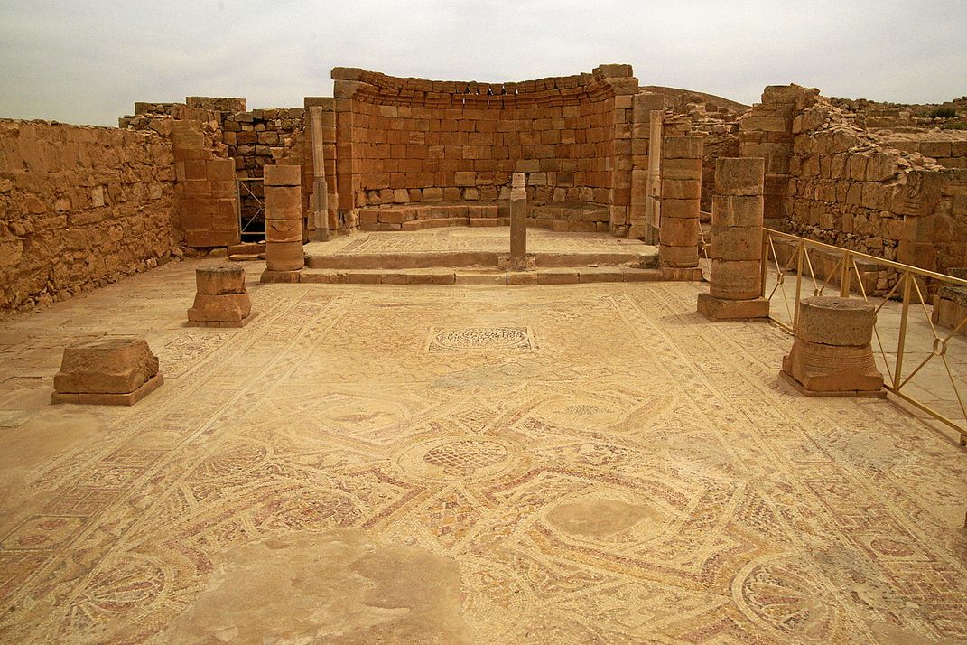
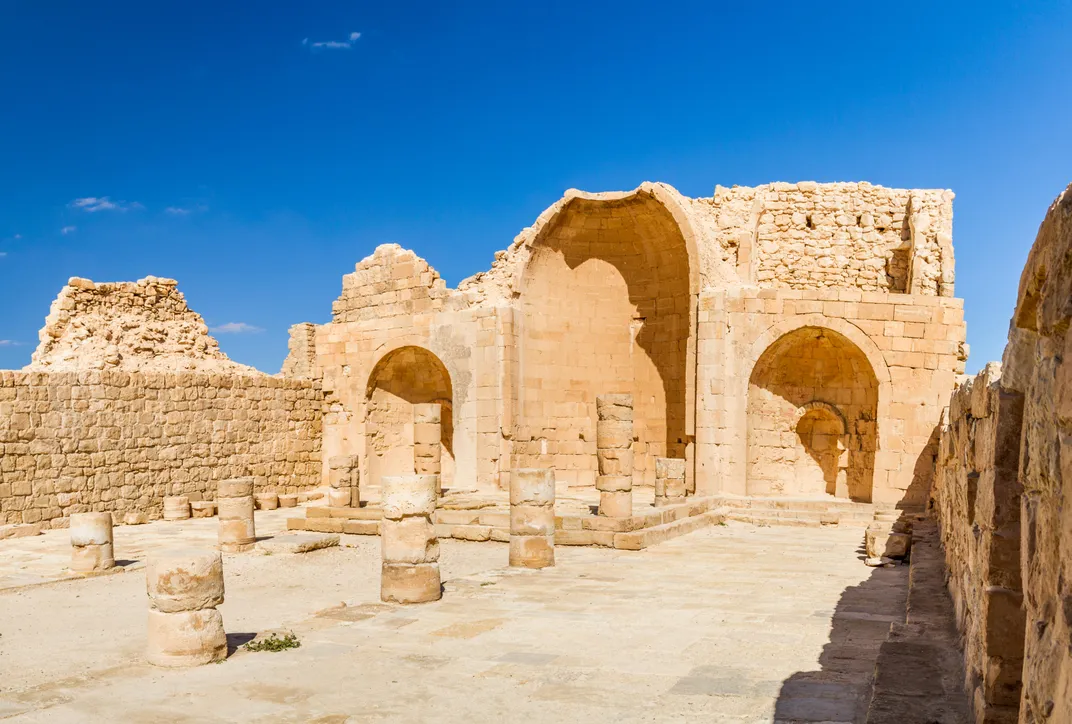
Another of the main cities along the incense route, Mamshit has extensive ruins of churches, as well as an inn, a bathhouse, various general buildings and a water system. Like many other stops along the incense route, Mamshit was valuable not only for its location, but also as a result of its agricultural focus. This city brought in wealth another way, too—horses. Residents of Mamshit bred Arabian horses, which made the city a rich center of commerce until its ultimate desertion in the 6th century.
Shivta
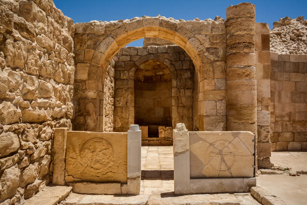
Unique to desert cities along the incense route, Shivta did not have fortifications. A wall around the city was constructed out of houses instead, though there was nothing at the time to stop passerby from just walking in. Shivta had two large public pools for collecting rainwater, and the responsibility of keeping them clean shifted on a monthly basis, from family to family among those living in the city. Ruins of the town are impressive and largely intact today; you can still walk down a road lined with homes and experience how it may have looked to residents back then.
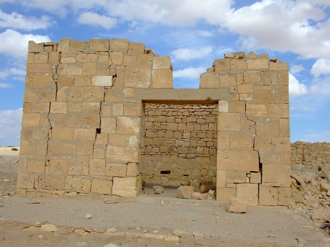
Nekarot Fort
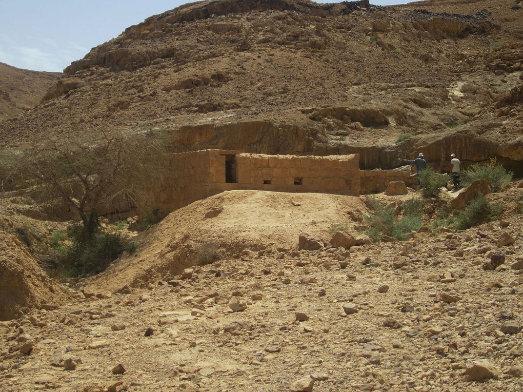
This fortress was built to provide protection for the section of the incense route spanning Moa to Ramon Crater. Visitors here can still see a guard tower with three rooms, a watchtower and a central courtyard, along with several other buildings; but here, you'll also have the chance to behold an even more unique spot: a hidden water pool complex tucked into a riverbed. The water building was designed to catch floodwaters rushing into a sunken pool, and any overflow was diverted around and away from Nekarot to irrigate the nearby fields.
Khan Saharonim Caravanserai
Rest stops like this one dotted the length of the incense route: an old caravan stop, where each group could relax, spend the night, or simply acquire supplies and water before setting out on their way. Most of the caravanserais along the journey were known to have been fortified and generally had inn rooms, a kitchen, baths and storage rooms. Khan Saharonim’s site was believed to have been a little more than 300 feet away from a water source, making it an ideal location for a pit stop along the route, though water no longer flows there today.
/https://tf-cmsv2-smithsonianmag-media.s3.amazonaws.com/accounts/headshot/JenniferBillock.png)