Exclusive: The Chimpanzees of Gombe National Park Make Their Street View Debut
For its latest collection, Google traveled to the African rainforest where Jane Goodall pioneered her groundbreaking chimp research
/https://tf-cmsv2-smithsonianmag-media.s3.amazonaws.com/accounts/headshot/MAx2.jpg)

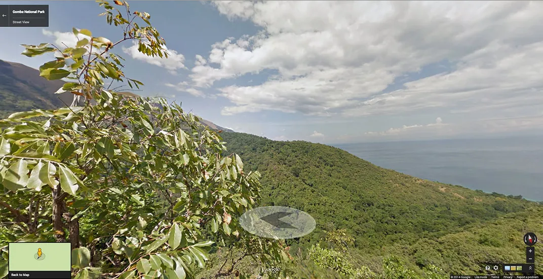
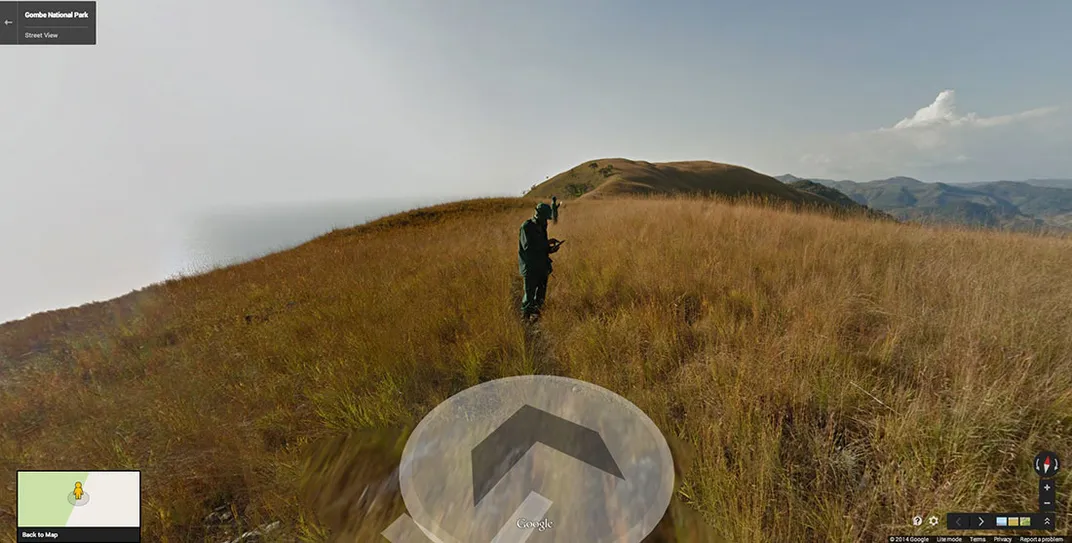
It takes 24 hours to get from Google’s headquarters in California to Gombe Stream National Park in Tanzania. The journey involves two planes, with stops in Amsterdam and Kilimanjaro, a puddle jumper across Tanzania, and two hours by motorboat along Lake Tanganyika, the longest freshwater lake in the world. When Jane Goodall traveled there half a century ago to study chimpanzees, she brought little more than a pencil, paper and binoculars. When a Google team went last spring, they brought two “trekkers,” the special cameras used to create Street View.
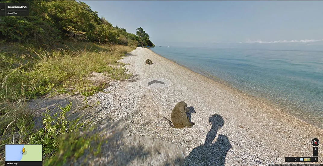
Thanks to Google, people can now explore Gombe without leaving the house. Announced here for the first time, Google’s latest Street View project takes users deep into the African rainforest, where they can see baboons resting by the beach and Goodall’s famous chimpanzees swinging through trees.
Goodall says that when she arrived at Gombe in 1961, her only map was simple and handwritten. “If there hadn’t been a lake, I wouldn’t be here now,” says Goodall, now 80. “When I got lost, which I did, I just climbed up until I saw the lake and then I knew where I was.”
She eventually observed the chimps making and using tools, a controversial finding. “It was thought that only humans used and made tools,” Goodall says. “It actually changed the way people thought a little bit about human evolution.”
As Goodall’s mentor, paleontologist Louis Leakey, famously put it: “Now we must redefine tool, redefine man or accept chimpanzees as humans.”
/https://tf-cmsv2-smithsonianmag-media.s3.amazonaws.com/filer/35/86/35865ac0-b002-494a-83d4-3c2f333a6297/5.jpg)
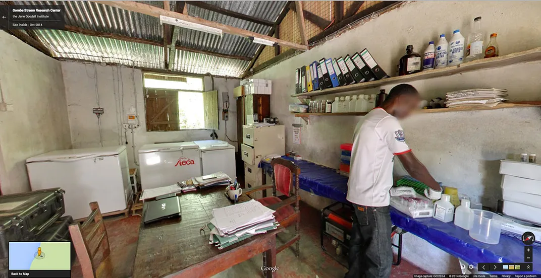
Goodall founded the Jane Goodall Institute in 1977 to promote animal conservation. Years ago, the Institute became one of the first nonprofits to partner with Google Earth Outreach, which teaches groups and communities how to use mapping technology to better the planet.
“When it’s two dimensional, when it doesn’t include imagery, it’s not a very faithful representation of reality,” Rebecca Moore, founder of Outreach, says about maps. “We want to create this highly realistic replica of the planet and put it in everyone’s hand.”
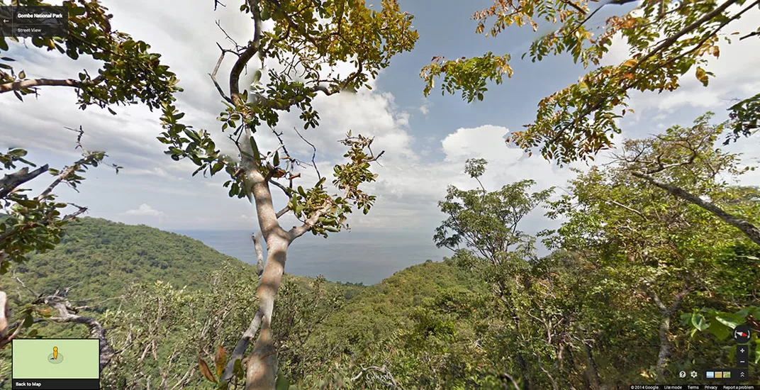
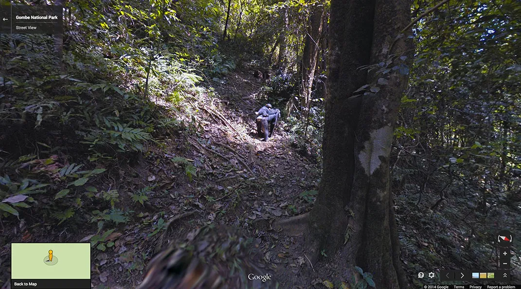
The team spent nine days mapping trails inside the 20-square-mile Gombe. Two members of Goodall’s Institute wore 40-pound backpacks that extended two feet above their shoulders. Attached to the packs were the same 15-lens cameras that Google usually mounts to vehicles (or in some cases, camels). Each camera automatically snaps a photo every two and a half seconds.
Allison Lieber, Google’s project manager for Gombe, says it was their most challenging Street View effort yet; experts had warned them about the “trifecta” of poisonous snakes, killer bees and army ants. Despite the challenges, the team collected 490,000 photographs and created 26,000 panoramas.
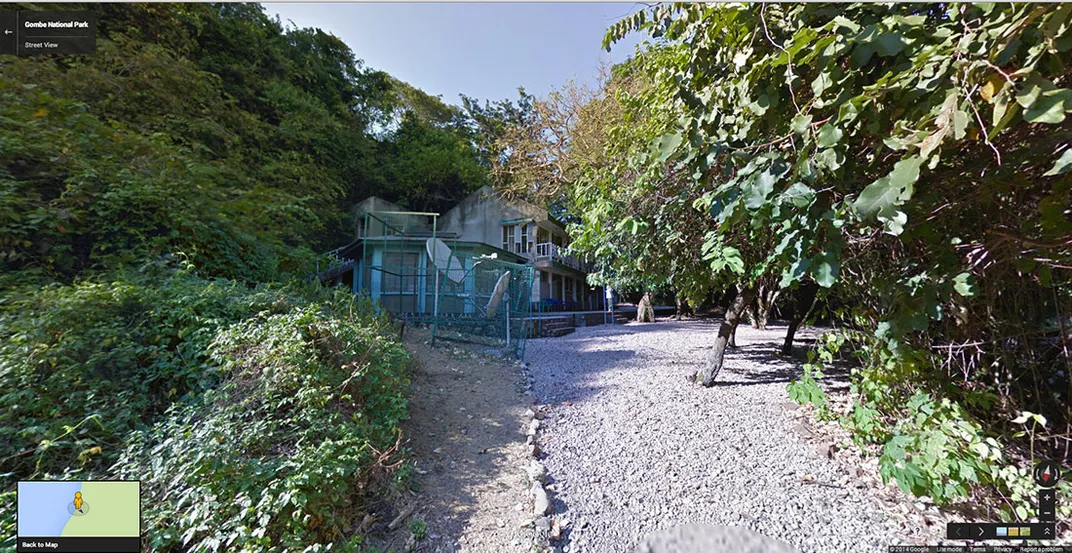
“If you were shipwrecked and you washed up on shore, this is the paradise you would want to land in,” says Bill Wallauer, a wildlife videographer for the Institute who wore the Google equipment. He first visited Gombe in 1992 and in some years since has spent up to 11 months at a time there, living in a one-room metal hut and shooting video with Disney and the BBC. From his bed, inside a mesh enclosure above the hut, Wallauer can see the chimps. “You just lose the rest of the world. You don’t hear the news, you don’t hear what’s going on,” he says. He’s gotten so used to that paradise that when he visits his parents in Oregon, he sleeps outside. His colleague, Lilian Pintea, vice president for conservation science at the Institute, also wore the equipment.
For years, Google and the Institute have used mapping technology to monitor declining chimpanzee populations. Goodall says the situation, which is largely due to deforestation, is “grim.” According to her Institute, at the start of the 20th century there may have been 1 million chimps in the wild. That number has since dropped to an estimated 172,000 to 300,000. Certain populations could further decline by as much as 80 percent over the next few decades. Goodall hopes the Street View imagery will encourage a greater fascination with chimps and more concern for the planet’s wildlife.
Google Street View has previously collected images of the Galapagos, Egyptian pyramids, the Angkor temples, Australia’s Great Barrier Reef, the Grand Canyon and other unique locations. Despite the similarities between humans and chimps that Goodall discovered, the Google technology didn’t accidentally blur the chimp’s faces. Users should note that much of the action in the Gombe Street View happens in the trees virtually overhead. “Don’t forget to look up,” Lieber says.
/https://tf-cmsv2-smithsonianmag-media.s3.amazonaws.com/accounts/headshot/MAx2.jpg)