Moosehorn (Baring Unit) Wilderness
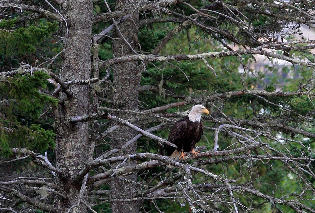
Migratory birds, wooded lakes and rolling hills
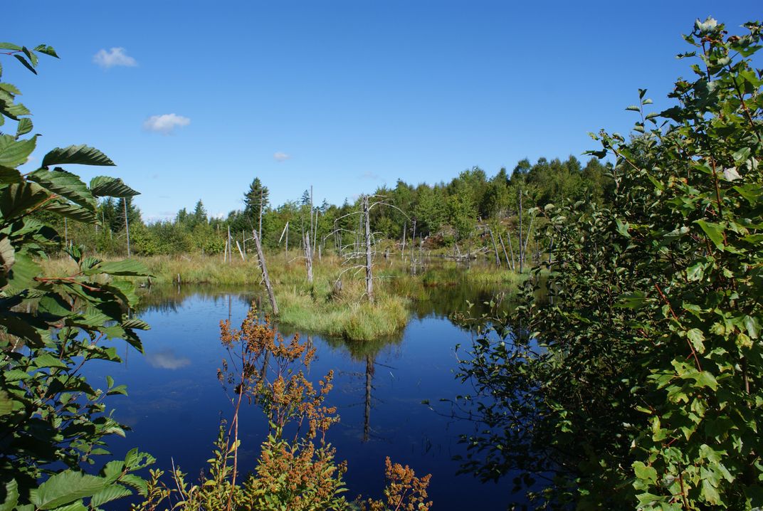
Location: Maine
Size: 4,680 acres
Year Designated: 1975
Fast Fact: The northernmost point for many migratory birds.
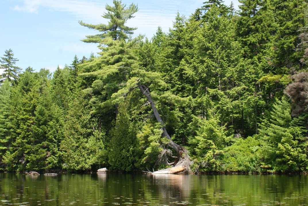
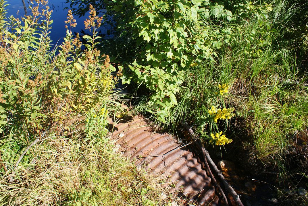
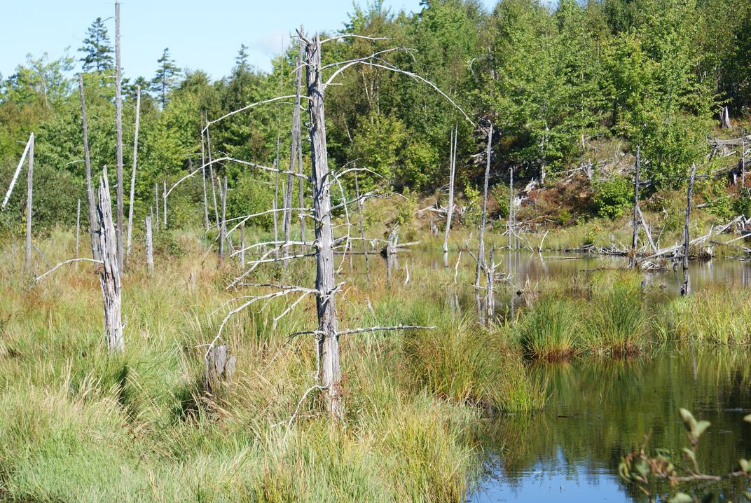
Millions of birds use the Atlantic Flyway each year, a migratory route that stretches from the northern Atlantic Coast to South America; for many birds on the flyway, their journey ends at the Moosehorn (Baring Unit) Wilderness, one of the northernmost points on the route. In the past, trees in the wilderness area’s forest were used for logging, but today, a vibrant secondary forest thrives. The area’s glacial past has carved low, rolling hills punctuated with lakes and bogs.