High Uintas Wilderness
Alpine ecosystem, numerous birds and colorful quartzite
Location: Utah
Size: 456,705 acres
Year Designated: 1984
Fast Fact: Contains Utah's highest peak.
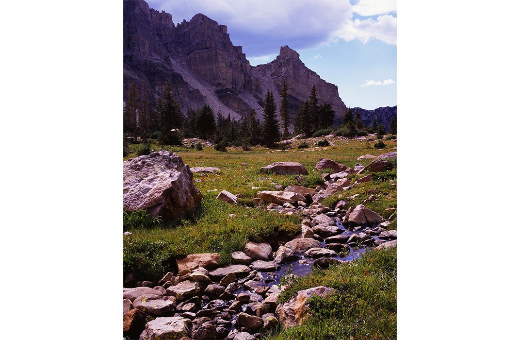
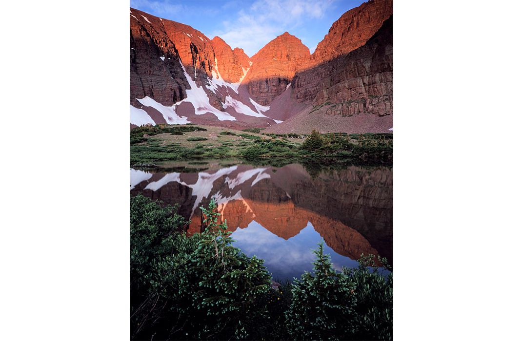
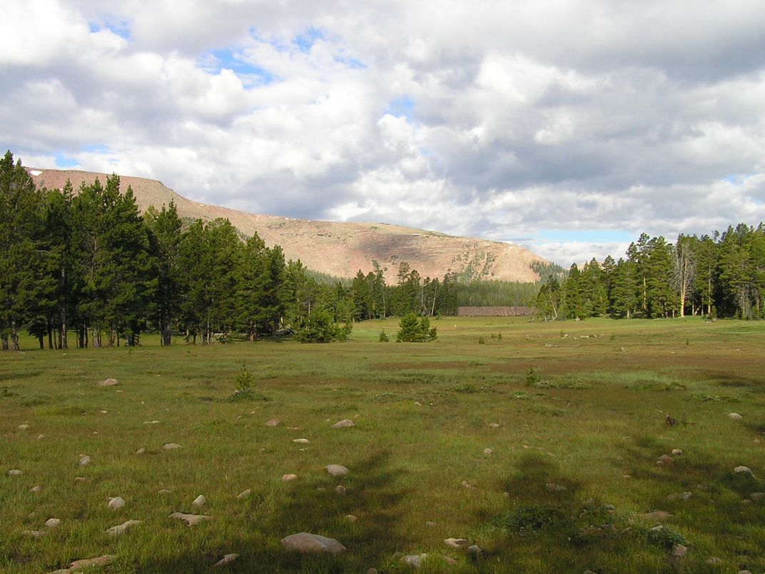
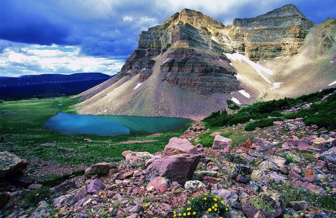
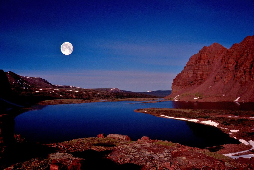
The Uintas Mountains, named for the Uintaat Indians, early ancestors of the modern Ute nation, were formed from glaciers which carved the mountains out of vast expanses of uplifted Precambrian rock. The mountain range’s main crest runs for 60 miles, reaching altitudes of 6,000 feet above sea level. It’s the largest alpine area between the Rocky Mountains and the Cascades (or Sierra Nevadas) and contains Kings Peak, the highest peak in Utah.
The area contains hundreds of clear alpine lakes and colorful quartzite and shale rock formations. Below the tree line, thick forests of spruce, fir and pine shelter elk, mountain goat, black bears and bighorn sheep. The area is also home to 75 percent of Utah’s bird species.