Take a Rare Look Inside FDR’s WWII Information Center: The Map Room
Long before Google Earth, this was how the president saw the world
/https://tf-cmsv2-smithsonianmag-media.s3.amazonaws.com/filer/79/9b/799bd4b9-f55f-45fc-8e74-a81fb7ecdb13/6053341993_db834c8406_o.jpg)
Franklin Delano Roosevelt really loved maps, and that love became a central part of his wartime presidency.
“His love of maps can be traced to his childhood when he first began collecting postage stamps,” writes The FDR Presidential Library & Museum. “Stamps from all over the world expanded FDR’s knowledge and understanding of geography and the international community, a knowledge that he brought with him to the White House in 1933.”
FDR was president through the years of World War II: 1939-1945. After the outbreak of the war, the library writes, National Geographic gave both the American president and Winston Churchill “special wall mounted map cabinets hidden by enlarged photographs.”
Inside the cabinets, the library writes: roller maps sorted by hemisphere, region and theater of operation. “Cartographers from National Geographic routinely updated these maps, bringing in new maps to the White House and personally installing them in the president’s cabinet that hung in his private Oval Study. By simply turning in his chair and opening the cabinet, FDR could quickly check battle locations around the world.”
Paper maps may not sound exciting in the era of Google, but in FDR's day, the room was top-of-the-line technology. The effort needed to keep them up-to-date would have been enormous.
When the president travelled, writes the FDR library in a separate article, a “Portable Map Room” travelled with him. “Here reports, documents and coded messages were received, summarized and files,” the museum writes.
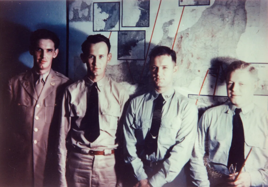
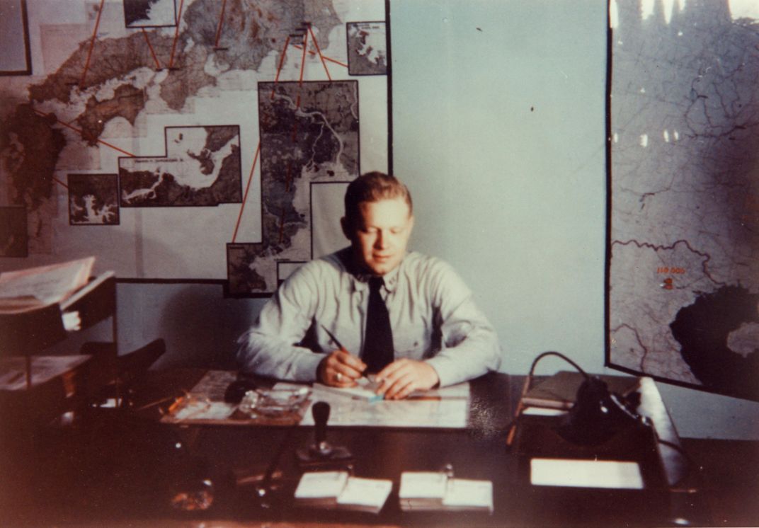
Later, the cabinet was abandoned in favor of a converted cloakroom: an actual map room. It was staffed 24 hours a day by Army and Navy staffers like the young men in these pictures, the museum writes. “FDR could drop in at any time. Access to others was highly restricted. Even the Secret Service was barred.”
This secrecy is why so few photographs of the map room still exist today. The archival record of the business that FDR conducted from the Map Room is available in the National Archives.