MIT’s ‘Treepedia’ Shows How Green Your City Grows
Using data from Google Street View, researchers created an interactive map that measures tree density on city streets
/https://tf-cmsv2-smithsonianmag-media.s3.amazonaws.com/filer/e2/bb/e2bb3898-5d02-4fe9-b929-776e14294bf8/toronto.png)
New York may be the concrete jungle where dreams are made, but did you know that the city’s streets boast more leafy tree coverage than those of Paris and London? Thanks to Treepedia, an online map launched by the MIT Senseable City Lab, inhabitants of 20 urban centers can compare the distribution of their city’s greenery to tree coverage in other places across the globe.
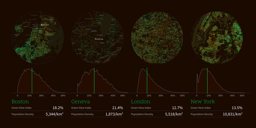
As Lauren Lloyd reports for Architects Newspaper, Treepedia measures cities’ green canopies, or the portion of trees and other vegetation that is visible above ground. The MIT team behind the project relied on data from Google Street View to create a “Green View Index,” which quantifies both overall tree coverage and the amount of coverage on a given street within a city.
By using Street View data—rather than satellite images—to measure tree coverage, researchers were able to gauge the “human perception of the environment from the street level,” the Treepedia website states. Users can click through maps that are illuminated by colored dots; green dots signify substantial tree coverage, brown dots mark places with sparse green canopies, and black areas have not been mapped yet, Adele Peters explains over at Fast Company.
Of the 20 cities currently included in Treepedia, Singapore has the highest median score on the Green View Index (29.3 percent) and Paris has the lowest (8.8 percent). The Index does not take city parks into account, which explains why Paris has a relatively low ranking despite its many public parks, Hannah Furfaro reports for The Wall Street Journal. But the Treepedia map nevertheless indicates that the distribution of trees in Paris is lopsided. Most of the city’s tree coverage seems to be clustered in the southern parts of Paris and around the city’s borders, which in turn highlights areas that could benefit from tree plantings, Feargus O’Sullivan notes in City Lab.
The MIT team hopes that the maps will engage both scientists and citizens, inspiring them to monitor urban tree coverage and advocate for more trees in their communities. Some cities have independently started to implement plans for increasing green canopies, with good reason. Trees improve quality of life in a host of different ways: they’re nice to look at, they provide shade during hot weather, and they can help create cleaner environments.
“Increasing a city’s tree canopy contributes to lowering urban temperatures by blocking shortwave radiation and increasing water evaporation,” the Treepedia site explains. “Creating more comfortable microclimates, trees also mitigate air pollution caused by everyday urban activities. Their absorptive root systems also help avoid floods during severe rains and storm surges.”
“So overall,” the site adds, “trees are pretty awesome.”